Coordinates
GD: 40.100419 -8.235403
DMS: 40°6′1.51″N 8°14′7.45″W
UTM: 29T 565170 4439182

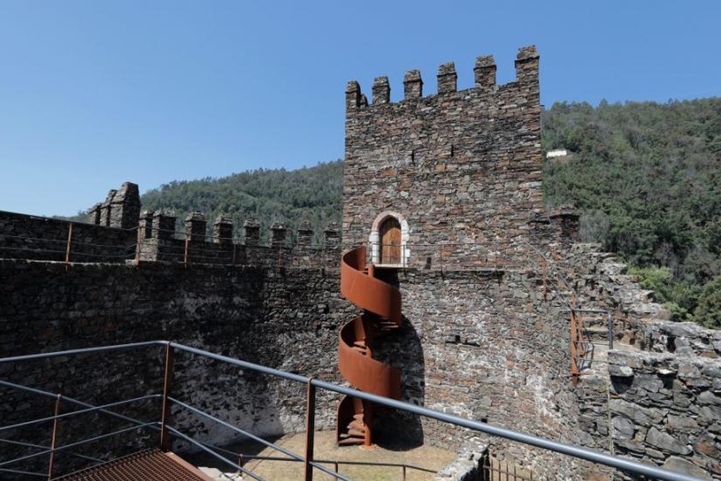
Also known as Arouce Castle, it forms part of one of the first defensive lines created in the second half of the 11th century to control the southern accesses to Coimbra. In the early days of the Portuguese monarchy, the place played an important role as a frontier settlement. In 1124, an Islamic invasion took the castle, and when it was once again in the possession of the Condado Portucalense, it was awarded a charter by King Afonso Henriques in 1151.
According to an ancient legend, at the time of the Muslim occupation the castle was built by the emir (Arab chieftain) Arunce to protect his daughter Peralta and his treasures after he was defeated and expelled from Conimbriga.
GD: 40.100419 -8.235403
DMS: 40°6′1.51″N 8°14′7.45″W
UTM: 29T 565170 4439182
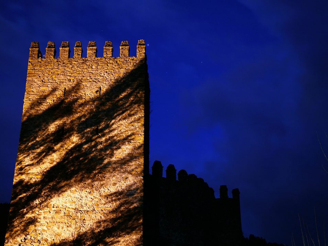
Castelo da Lousã

Castelo da Lousã

Castelo da Lousã

Castelo da Lousã
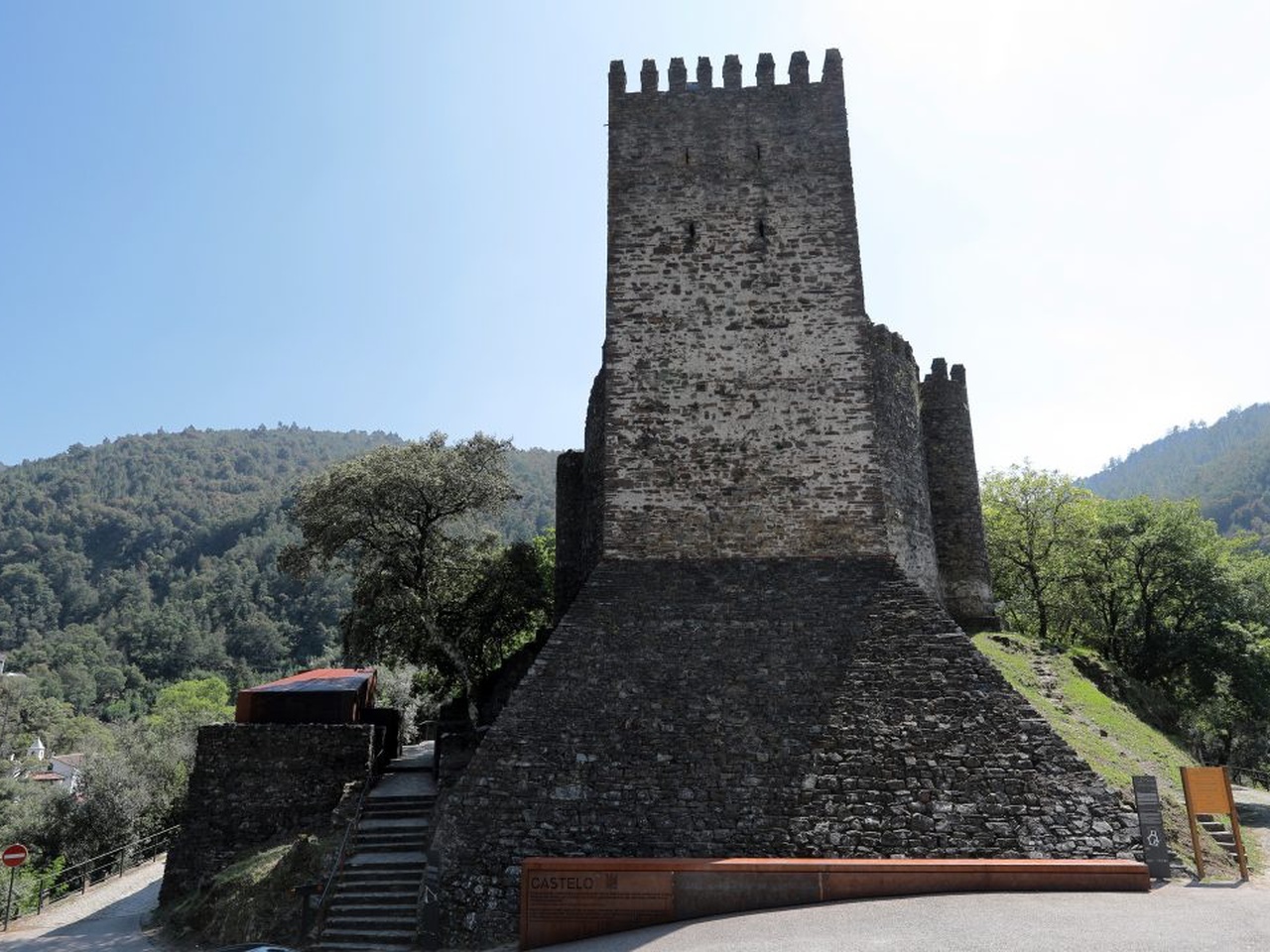
Castelo da Lousã

Castelo da Lousã

Castelo da Lousã

Castelo da Lousã
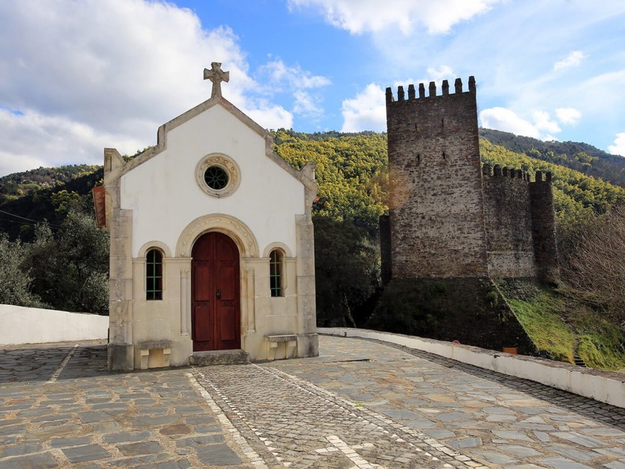
Castelo da Lousã
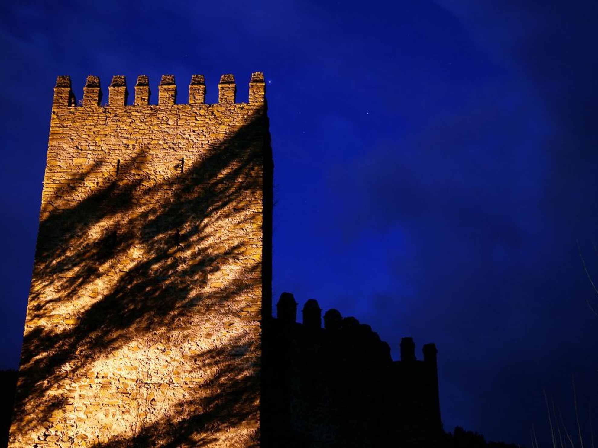
Castelo da Lousã

Castelo da Lousã

Castelo da Lousã

Castelo da Lousã

Castelo da Lousã
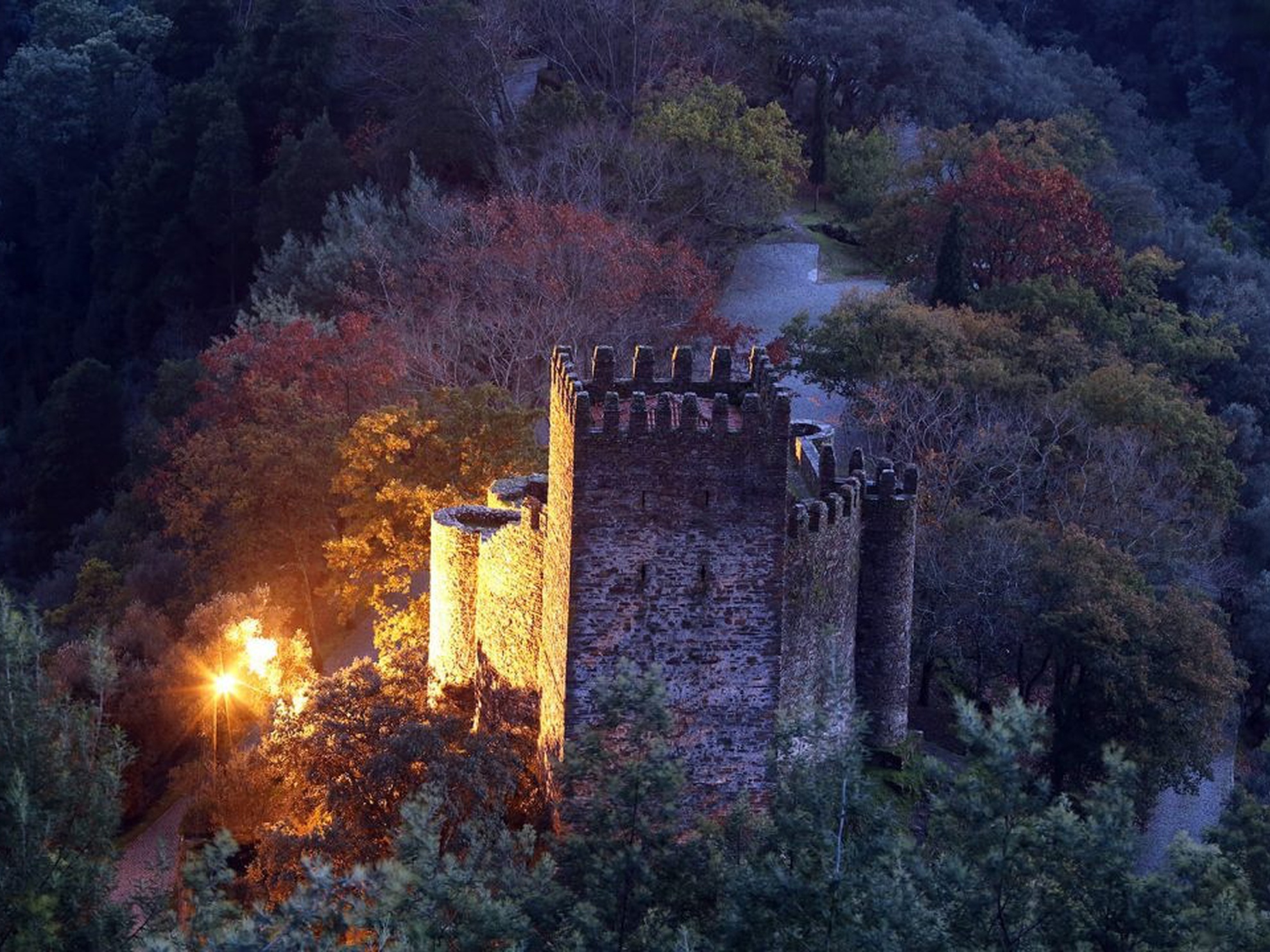
Castelo da Lousã

Castelo da Lousã
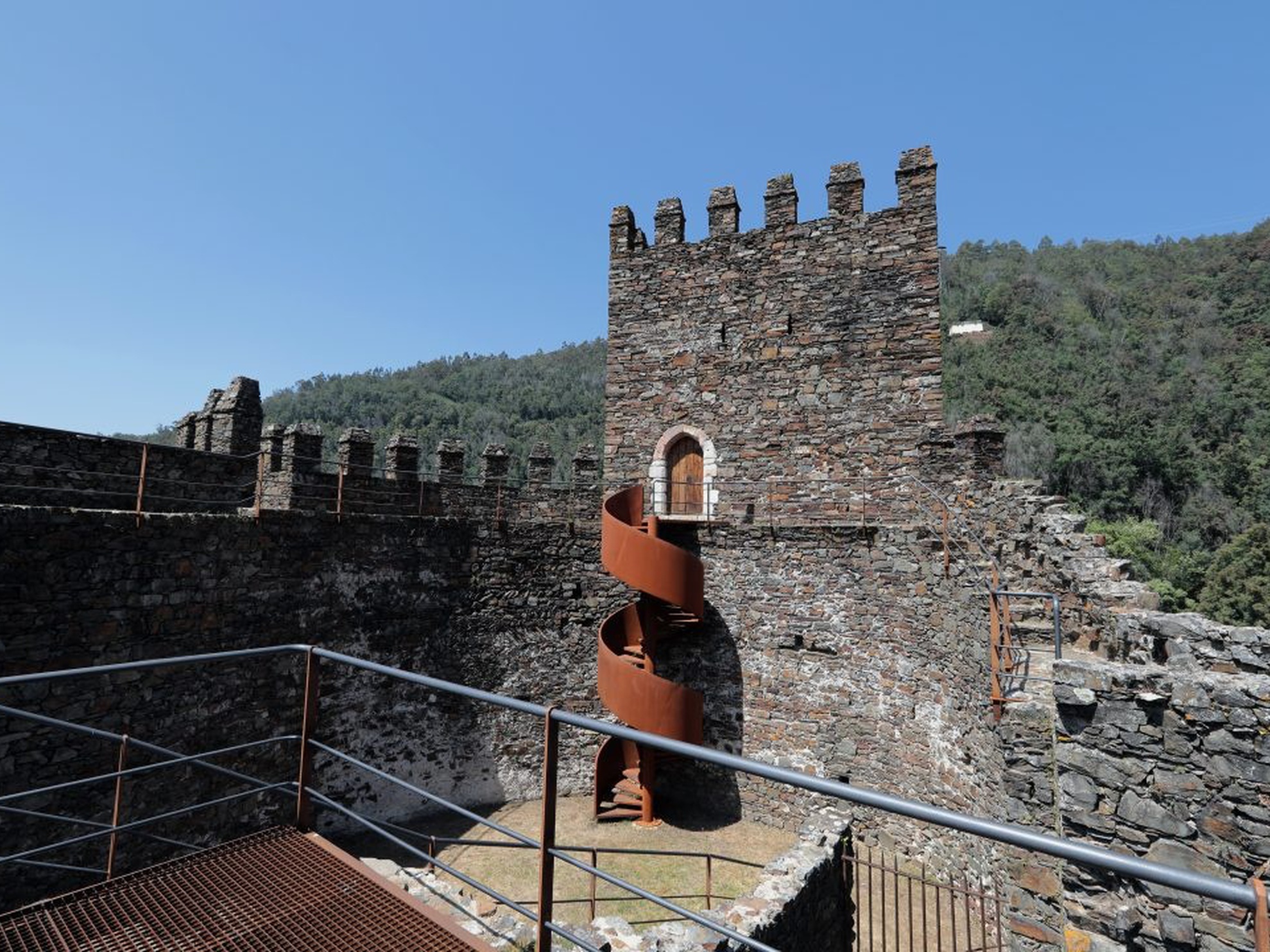
Castelo da Lousã

Castelo da Lousã
